Choose your Cēsis cycling route by its surface and return journey, as well as its distance. A short ride can still involve forest tracks; a route ending in another town needs a transport plan. Start with one of these four published routes, then download its map before setting off.
Source review: 30 September 2026. Distances and surfaces below come from the linked tourism route descriptions. This is a desk-researched guide, not a report of a recent ride. Printed maps may predate this review; check local signs and current conditions.
Choose your route
| Route | Distance and shape | Planning note |
|---|---|---|
| Cēsis and Ērgļu Cliffs | About 18 km · loop | Moderate; starts at Cēsis Castle |
| Lake Raiskums | 7 km · loop | Shorter option; starts in Raiskums |
| Cēsis–Valmiera | About 45 km · one way | Moderate, with harder sections; arrange a return |
| Līgatne–Cēsis | About 28 km · one way | Moderate; no route waymarking listed |
Distances cover the published routes, excluding travel from your accommodation or bike rental. The first two appear in the Visit Cēsis cycling map (PDF, 2021 edition); the longer rides have their own route pages below.
Cēsis and Ērgļu Cliffs: a loop from town
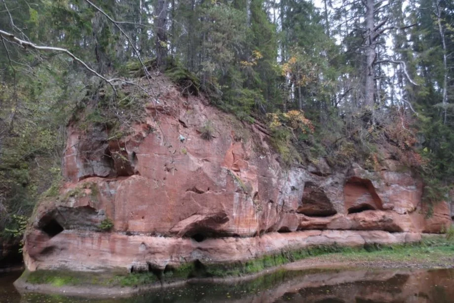
The map calls this Pleasures of the Cēsis area. It links the castle, Ērgļu Cliffs, Gaujaslīči and the Siļķes sculpture workshop area. Its surface is approximately 10 km gravel, 5 km asphalt and 3 km forest road. Expect a steep descent and wooden bridges that can be slippery when wet.
Open the route map (PDF). For a first visit, we would choose this loop if returning to the same starting point matters more than covering a long distance. Leave time for stops rather than planning around a fixed riding speed.
Lake Raiskums: the shorter option
This loop begins at Apaļkalns campsite in Raiskums. The map describes it as less physically demanding and suitable for families, with 4 km of forest surface, 2 km of asphalt and 1 km of gravel. See the lake loop in the cycling map (PDF).
Plan how you will reach Raiskums: the 7 km does not include the journey there from Cēsis. With children, choose according to their ability on uneven ground and around traffic; a short distance alone does not settle that decision.
Cēsis–Valmiera: a longer ride through the valley
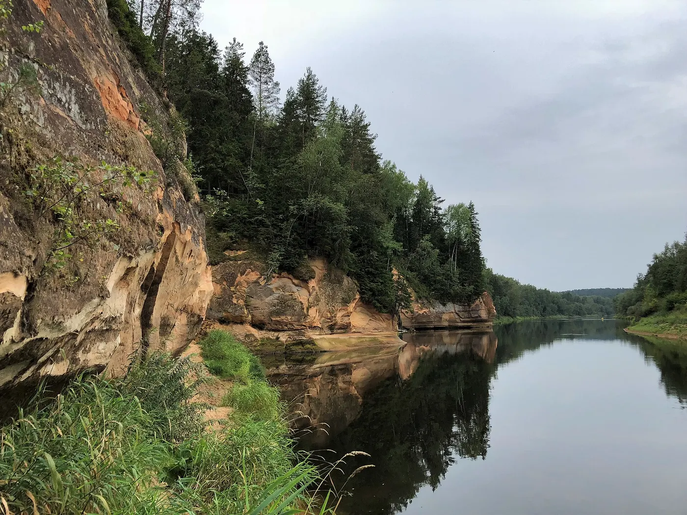
Enter Gauja’s Cēsis–Valmiera route runs from Cēsis railway station towards Ērgļu Cliffs, Rāmnieki and Sietiņiezis, finishing in Valmiera. It combines gravel, forest roads and paths with a smaller amount of asphalt. The official description allows a day for cyclists and rates the route moderate, with more demanding valley slopes and ravines.
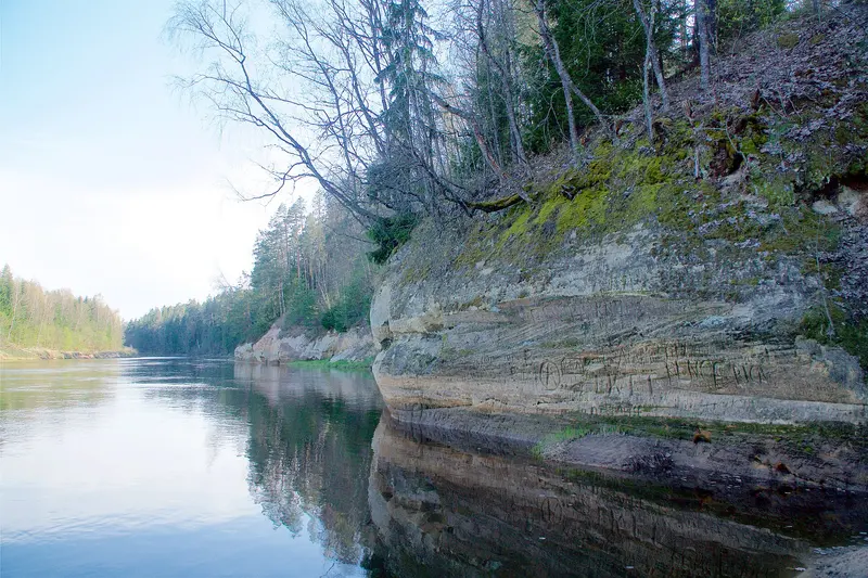
Roots, sand and mud can slow progress, especially after rain. Wooden bicycle signs and orange tree markings are described, but take an offline map too. Download the route leaflet and map (PDF).
The description recommends late April to October. For a one-way trip, check a train from Valmiera to Cēsis or Riga for your actual date. Leave a generous margin before departure, or arrange collection. A rental bike may need to return to its original pickup point.
Līgatne–Cēsis: check the start and navigation
Enter Gauja’s Līgatne–Cēsis route and downloadable map connect the two tourism information centres via Skaļupes, Rakši and Ozolkalns. The route uses asphalt around Līgatne–Skaļupe and Cēsis, with gravel and unpaved roads elsewhere. Its description lists no on-site waymarking and recommends April to September.
Līgatne railway station is at Augšlīgatne, separate from the route’s starting point in Līgatne. Work out that transfer before booking travel; do not assume a connecting bus will take your bicycle. Download the route map and allow extra distance for the station connection.
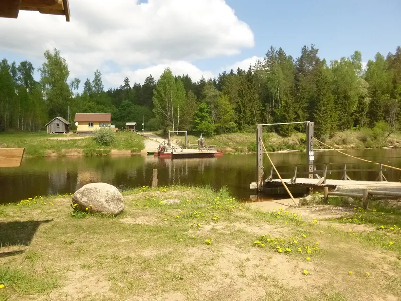
If you choose a different itinerary involving the Gauja ferry, check the official Līgatne ferry information first. Weather or technical problems can interrupt service; the listed contact is +371 25737578. Confirm the crossing before committing to a route that depends on it.
Bike rental and travelling by train
Žagarkalns bicycle rental is listed at the campsite, Mūrlejas iela 12, Cēsis. Contact the operator on +371 26170074 to confirm seasonal opening, bike sizes, helmets, price and return arrangements. Reserve any child seat or other required equipment in advance.
For travel from Riga, use the Vivi journey planner and check both outward and return services. Vivi requires a luggage ticket for a bicycle. Its bicycle carriage conditions limit capacity to the available holders, or five bicycles per carriage where holders are absent. Arrive early enough to load your bike; a timetable connection alone does not guarantee space for it.
For a longer cycling holiday, Enter Gauja’s EuroVelo 11 page provides a separate regional route and GPX download link. Check the track against your intended start and finish rather than treating it as one of the local loops above.
Before you ride
- Match the bike to the surface. Ask the rental operator which bike suits your chosen route and the latest ground conditions.
- Carry what you need between stops. Water, food, a charged phone, an offline map and a repair kit help keep a minor delay manageable.
- Make room for walking. Dismount where signs require it or where a slope, bridge or busy viewpoint is uncomfortable to ride.
- Respect protected areas. Follow access signs and established routes. The Nature Conservation Agency notes that Gauja National Park includes reserve zones closed to visitors.
- Ask about recent changes. The Cēsis tourism information service and map collection are useful starting points for local advice and route leaflets.
Build the rest of your trip with our Cēsis visit planner. If you want to split sightseeing and cycling across two days, explore places to stay and confirm bicycle storage directly with your host.
For a day off the bike, our Gauja National Park guide from Cēsis compares woodland walks, cliff viewpoints and a separate wildlife visit.