For a first visit to Gauja National Park from Cēsis, choose one main walk and plan how you will reach its starting point. Cīrulīši offers a choice of woodland routes on the edge of town; Ērgļu Cliffs is a focused stop for river views; the Amata valley suits a more demanding hike. Līgatne Nature Trails is a separate, ticketed wildlife visit.
The Nature Conservation Agency gives the park’s area as 91,786 hectares and its founding year as 1973. Its protected landscape covers much more than a single attraction, so searching for a general “park entrance” is less useful than choosing a specific trailhead.
Sources reviewed: 30 September 2026. Route details below come from official tourism and operator sources, not a recent on-foot inspection. Photographs are dated archive views. Check local notices and the linked visitor information before setting out.
Choose your part of the park
| Place | Choose it for | Before you go |
|---|---|---|
| Cīrulīši Nature Trails | A woodland walk near Cēsis; published routes of 2.7, 3.5 or 6.2 km | Add travel from town; the trails are not suitable for pushchairs. |
| Ērgļu Cliffs | Sandstone cliffs and views over the Gauja | Expect steps; distinguish a visit from the car park from a longer hike out of Cēsis. |
| Zvārtes Rock and Amata | A cliff visit or a more demanding river-valley hike | Choose the exact route: the 15 km loop and 21.5 km linear trail are different outings. |
| Līgatne Nature Trails | Latvian wildlife in a managed visitor site | Check admission, seasonal hours and the final part of the journey; pets are not allowed. |
Cīrulīši: a woodland walk near town
The official Cīrulīši listing describes three marked routes: 2.7, 3.5 and 6.2 km. The area includes Spoguļklintis, or Mirror Cliffs, Bride’s Cave and Zvanu Cliffs. Choose your route on the trail map (PDF); each distance refers to a particular route, not a walk starting at Cēsis railway station.
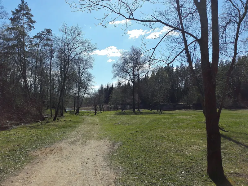
Visit Cēsis suggests starting at Žagarkalns campsite, where it lists free parking. Use its directions to the trail area and check the on-site map before walking. Access is listed as free and year-round, but campsite services are seasonal. Bring what you need rather than relying on a summer rental desk or café being open.
The tourism page specifically says the terrain is unsuitable for pushchairs. For a step-free visit, ask the tourist information centre about a suitable section before travelling. A short route is not automatically an accessible one.
Ērgļu Cliffs: sandstone above the Gauja
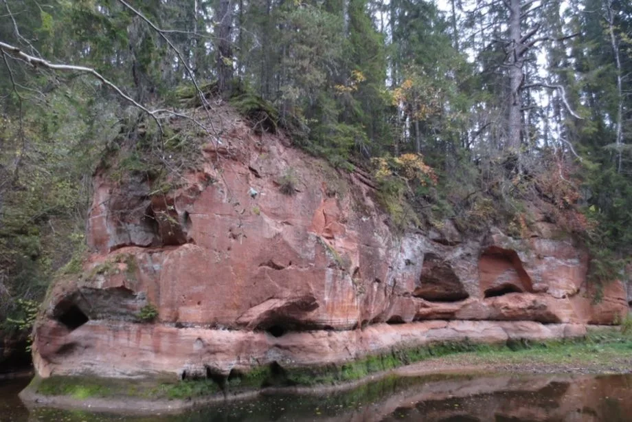
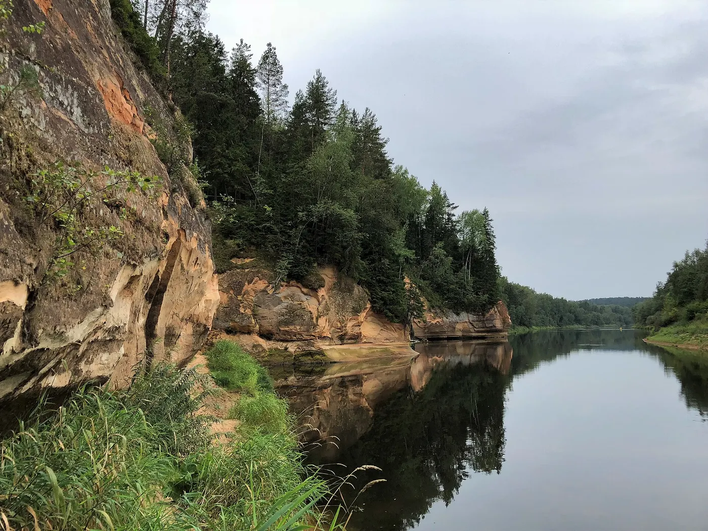
Ērgļu Cliffs offers viewing platforms, paths and staircases beside a long sandstone wall. It is a good choice when you want a clear destination for a nature outing. The official listing marks access and parking as free and includes a picnic area and toilet; check any notices at the site.
For a direct visit, follow the officially linked directions. If you prefer walking from Cēsis, download the separate Ērgļu Cliffs route from the tourism maps collection and allow for the entire return journey. The short visit from the parking area and the longer town-to-cliffs hike should not share one time estimate.
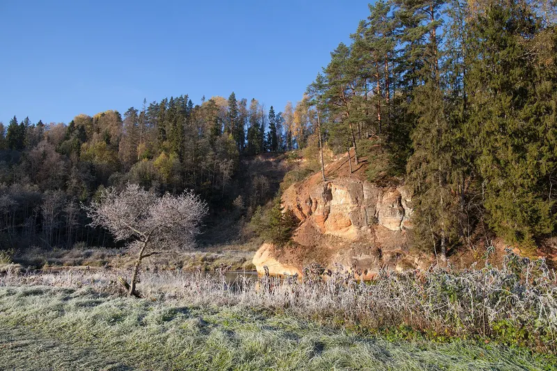
Stay on the paths and viewing areas. Sandstone is fragile: do not climb or carve into it, and keep back from cliff edges. The introductory photograph shows the cliffs in August 2018; river levels and vegetation will vary.
Zvārtes Rock and the Amata valley
Zvārtes Rock gives you a specific destination on the Amata River without committing to the whole valley trail. Follow the visitor-site directions; the upper viewpoint involves stairs. The nearby information centre is seasonal, so take water and food with you.
For a full hiking day, Visit Cēsis lists a 15 km Amata River loop starting at the Kārļi fish-farm bridge. It is rated hard, with orange markings and slippery surfaces in wet weather. Read the route and download its GPX before deciding whether it fits your group.
The separate Amata river-trail brochure (PDF) describes approximately 21.5 km from Amatciems to Veclauču Bridge. This is a linear route: walking one section still requires a return or pickup plan. Follow the marked right-bank trail; the brochure identifies the opposite bank between Zvārtes Rock meadow and Veclauču Bridge as the Roči Forest Reserve, closed to visitors. Do not improvise a return route through it or across the river.
Līgatne Nature Trails: plan a separate wildlife visit
Choose Līgatne Nature Trails if observing Latvian animals is the main aim of the day. This managed site has admission tickets and seasonal opening hours. Check the operator’s current price list, including parking, before booking or travelling. Ask its information centre about the route if you use a wheelchair or pushchair.
The visitor rules prohibit bringing pets, feeding animals and riding bicycles on the hiking trails. Keep to the designated viewing areas and respect the barriers.
Read the operator’s arrival guidance carefully if travelling without a car. Līgatne station is not at the attraction, and the operator warns that public transport involves an onward connection or a substantial walk. Check connections for your actual date instead of assuming a train ticket completes the journey.
Put the day together from Cēsis
- Without a car: start by considering Cīrulīši. Plan the approach from your accommodation or station as well as the marked walk, and decide whether to arrange a local ride.
- With a car: choose one main site, then add another only if daylight and the first walk leave enough time. Set navigation to its visitor parking or trailhead, not the centre of the national park.
- By bike: use our four-route cycling guide for distances, surfaces and rental links. A marked walking trail is not automatically a suitable cycling route.
- By canoe or kayak: agree the river section, pickup, equipment and current conditions with the rental operator. Allow a separate outing rather than fitting an unspecified boat trip between two hikes.
For a day that mixes town and nature, choose one interior visit from our Cēsis Castle guide, then one walk. Our visit planner links onward travel information. Leave enough time to return to the station, collect luggage and find the correct platform or bus stop.
Before setting out
Save the relevant map offline and carry water, a charged phone and shoes suited to uneven ground. Wet roots, wooden steps and ice can change the difficulty of a familiar path. Follow barriers and closure signs even when an older brochure shows a route continuing.
Take your litter away. If planning a picnic with a fire, read the municipality’s campfire guidance and check current restrictions; use designated places only. For route advice, contact Cēsis Tourist Information Centre at Pils laukums 5, +371 28318318 or info@cesis.lv.